Monday thru Friday 8:00am-5:00pm (716) 587-8380
Quality Land Surveying Services
360 Land Survey
We have all the angles covered.


Boundary
Our knowledgeable field crews can deliver boundary surveys for the title transfer of residential and commercial properties. They can also help provide solutions including regulatory compliance.

Topographic
We can identify existing land features such as trees, buildings, streets, walkways, manholes, utility poles, and retaining walls, for site improvement and geodetic control.

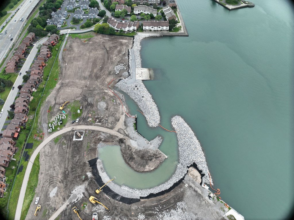
Construction
We gather information to provide precise measurements and create digital maps and details reports. We can advise clients, architects, and construction managers of any on-site conditions they should be aware of and perform layout work.

3-D Modeling
We use Computer Aided Design to create three-dimensional mapping for machine control in landfills and volumetric surveying. Objects are converted into highly accurate mathematical representations, using laser scanners and 3-D modeling software.